Project Details
Abstract
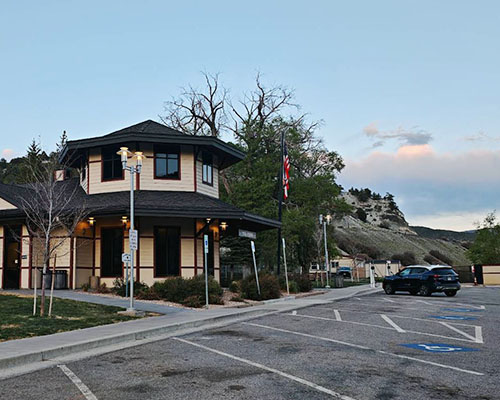 State-maintained rest areas are facing increasing safety risks as infrastructure ages and traveler demand grows, raising concerns about both user well-being and operational efficiency. Utilizing open-source data and video from surveillance cameras in rest areas managed by the Utah Department of Transportation (UDOT), this project proposes to incorporate a safety-focused analysis layer into rest area management in Utah. We will develop computer vision pipelines for multi-object tracking and scene calibration to extract vehicle and pedestrian precise trajectories and speeds, then calculate surrogate safety measures to identify near-miss interactions in parking areas and walkways. These metrics will be integrated into spatiotemporal hotspot maps and a site-level Safety Performance Index (SPI) that ranks locations and time periods with the highest safety risks. The SPI will guide a risk-based shortlist of targeted countermeasures, including signage enhancements, speed-calming features, bollards, and lighting upgrades, each accompanied by projected risk reduction and cost estimates to support informed decision-making.
Project Word Files
project files
- UTC Project Information (Word, 86K)
Note to project PIs: The UTC document is limited to two pages. Also, it would be helpful if the Track Changes feature is used when editing either document above. Updated documents should be emailed to ndsu.ugpti@ndsu.edu.