Project Details
Abstract
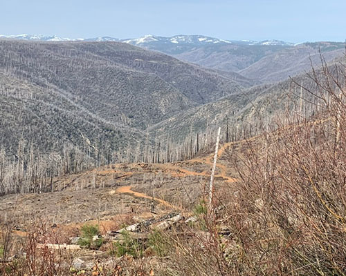 Earthquakes pose a significant and growing threat to rural communities across the Western United States, where transportation networks are critical lifelines for public safety and economic stability. Ground shaking, surface rupture, and aftershocks can severely damage roadways, bridges, and utilities, disrupting mobility and delaying emergency response. Earthquakes can also trigger cascading hazards—including post-earthquake fires, debris flows, and utility failures—that further compromise evacuation routes and supply chains. These risks are particularly acute in rural areas, where road connectivity is sparse, detours are limited, and small businesses play a central role in community stability.
This project addresses two key gaps: (1) rural earthquake evacuation and transportation system management under cascading hazard conditions, and (2) business continuity for small enterprises dependent on vulnerable transportation infrastructure. First, a Community Advisory Board (CAB) will guide the research, ensuring that local knowledge, operational realities, and stakeholder priorities shape the study design. Second, we will develop a GeoAI-driven, agent-based model to simulate rural evacuations under earthquake and cascading hazard scenarios, integrating seismic hazard data (e.g., ShakeMap), transportation network characteristics, traffic data, and socio-demographic information. Third, we will build a multi-hazard business continuity model that predicts how rural businesses recover following earthquake-related disruptions, incorporating infrastructure damage, supply chain dependencies, workforce displacement, and access constraints.
Project Word Files
project files
- UTC Project Information (Word, 88K)
Note to project PIs: The UTC document is limited to two pages. Also, it would be helpful if the Track Changes feature is used when editing either document above. Updated documents should be emailed to ndsu.ugpti@ndsu.edu.